More than just a pretty body of waterThe Patpasco River is directly located outside of the Digital Harbor High School. Many students only know it as "The Inner Harbor" but don't realize it's part of one largest watersheds in the world. Through the Environmental Science class, students understand what is a watershed, what watershed we live in and influence, water quality indicators, impacts on water quality, water conservation, and water pollution and policy.
Monitoring Water Quality in the Inner Harbor and Digital Harbor High School's Watershed
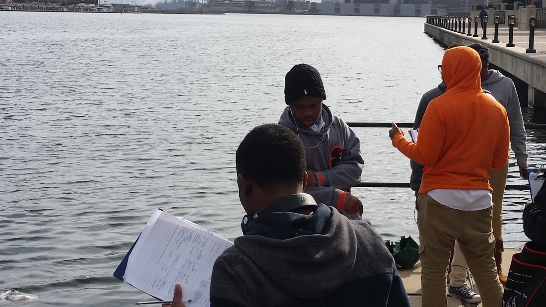
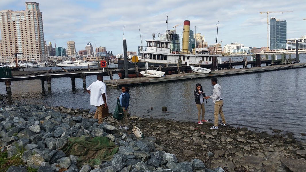
Data found from the Inner Harbor Testing is put into Fieldscope.org, to assist with the Chesapeake Bay monitoring of Water Quality.
 Students are researching turbidity on the Chesapeake Bay Foundation's Snow Goose. Students are researching turbidity on the Chesapeake Bay Foundation's Snow Goose.
Students test the water for water quality indicators, such as dissolved oxygen, pH, Fecal Coliform Bacteria, Nitrates, Phosphates and the turbidity of the water column. Environmental Science classes test in the spring and in the fall for three different classes. The data is then uploaded to the Chesapeake Bay Fieldscope to monitor data over time. The Chesapeake Bay Watershed Project is a citizen science initiative in which students investigate water quality issues on local and regional scales and collaborate with students across the Bay watershed to analyze data and take action. Chesapeake Bay FieldScope is a project of National Geographic's Education Programs in collaboration with the Chesapeake Bay Foundation and the NOAA Chesapeake Bay Office. It is open and free for students and educators across the Chesapeake Bay watershed to join.
Lesson Plans and Student Work for 2015-2016
| ||||||||||||||||||||
The Chesapeake Bay WatershedStudents learn about the watershed they live in by mapping the location of their watershed and analyzing different land forms.
|
Water Quality and PollutionStudents will determine what the water quality indicators are, what determines pollution, and how the Inner harbor rates based on those indicators.
| ||||||||||
Students picking up litter in the Inner Harbor - Spring 2016Students pick up trash that is adjacent to the Inner Harbor and tally the amount found. They then make posters or Public Service Announcement
|
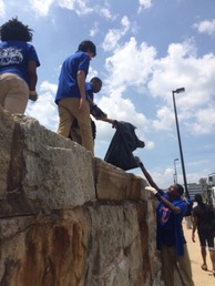
Students pick up trash along the Inner Harbor to assist in limiting water pollution. Ms. Melton's Class Fall 2015
| ||
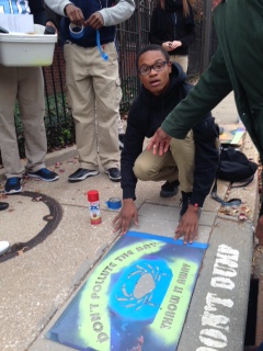
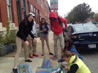
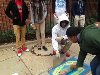
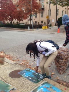
Students stenciling drains that go right into the Inner HarborMs. Davis' students assisted the Aubudon Society by painting the drains around the school to make the community aware that the drains go right into the harbor and to not pollute.
|